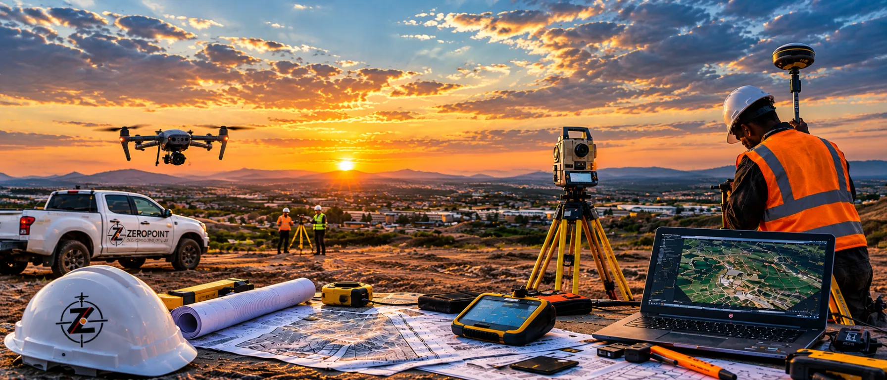
Precision at the Origin.
Engineering-grade surveying, geodetic control and field execution for infrastructure and renewable energy, construction, municipal, mining and industrial projects through disciplined control methodologies and rigorous QA/QC systems.
Engineering Surveying & Geomatics Consultancy
ZeroPoint GeoConsulting (Pty) Ltd is led by a Registered Professional Engineering Surveyor. We support infrastructure, construction, renewable energy, municipal, mining, and industrial projects through disciplined control methodologies and rigorous QA/QC systems.
“Every successful project begins with a reliable reference. That reference is Zero Point.”
Comprehensive Surveying & Geomatics Solutions
From control network design to on-site deployment and final verification — we ensure what is designed is executed accurately.
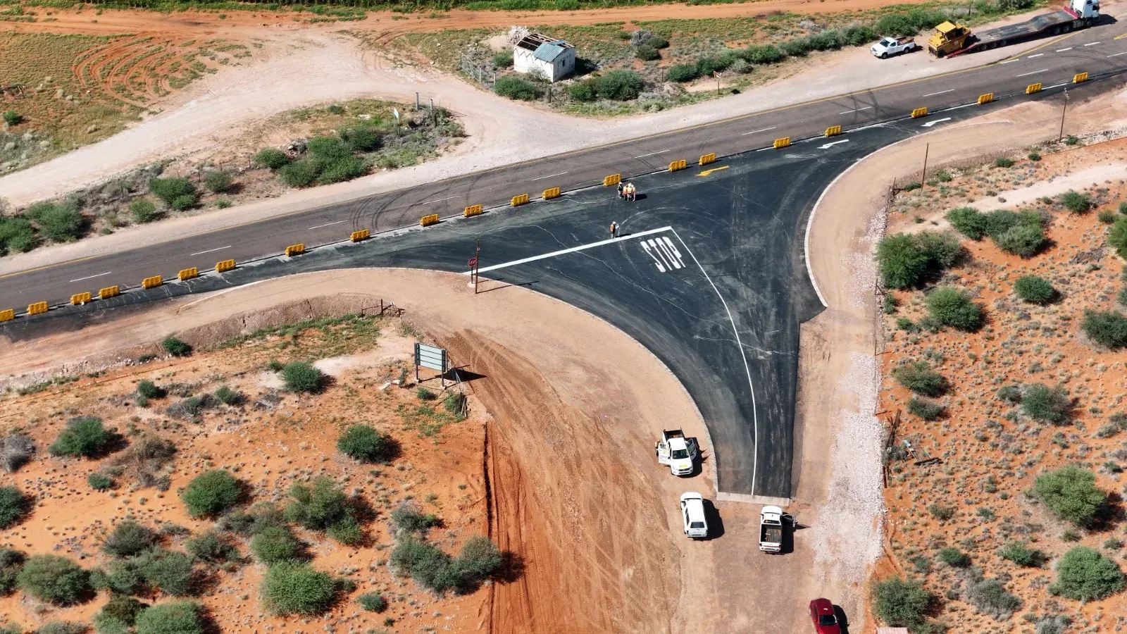
Engineering & Construction Surveying
High-precision setting-out, structural alignment, deformation monitoring, and as-built verification.
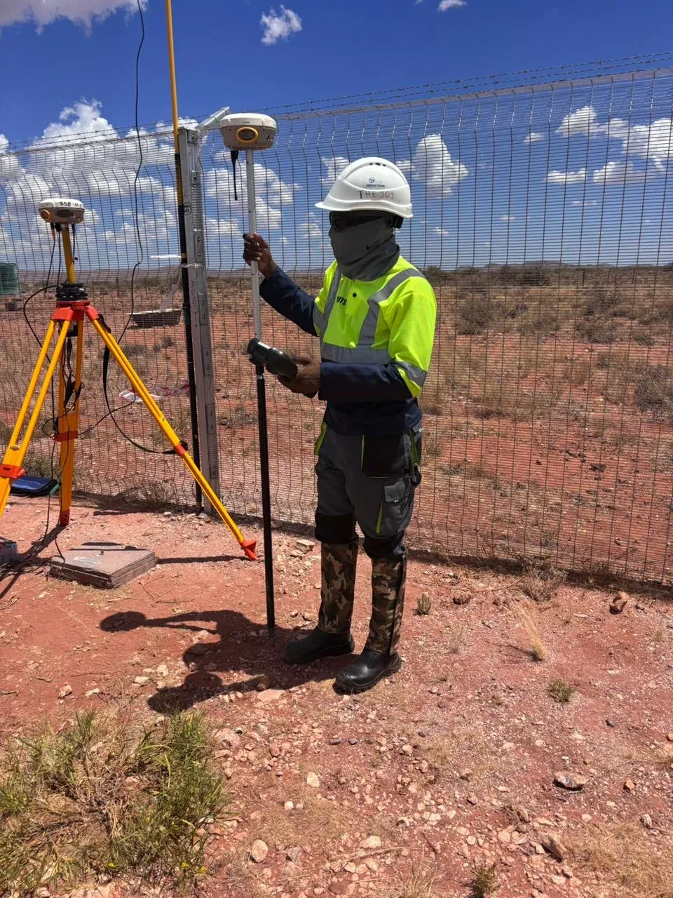
Geodetic & GNSS Control Networks
Design and establishment of high-accuracy control frameworks that underpin infrastructure reliability.
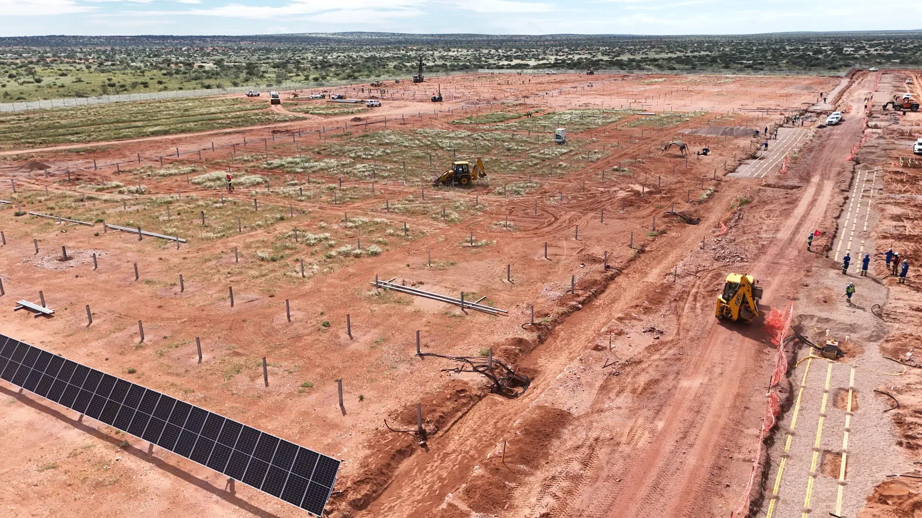
Renewable Energy & Solar Farm Surveying
Precision-driven surveying supporting solar tracker alignment, pile layout, and construction QA.
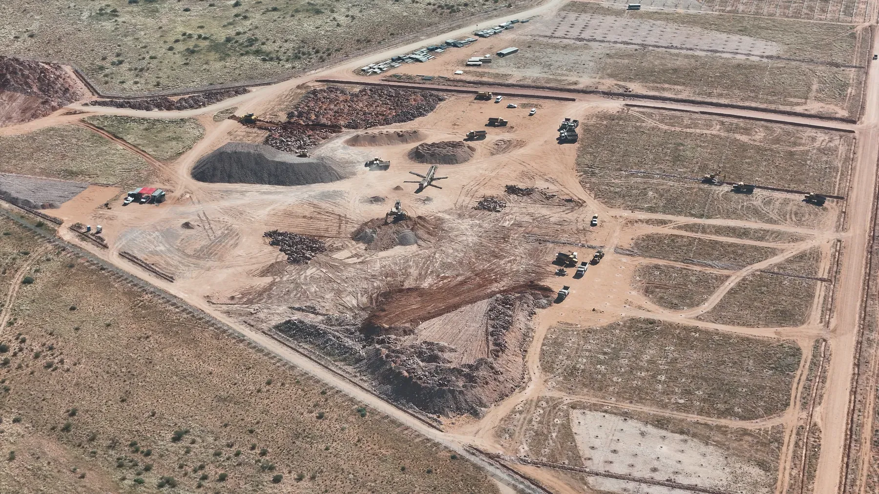
UAV Mapping & Photogrammetry
Licensed aerial surveys delivering accurate and decision-grade spatial intelligence.
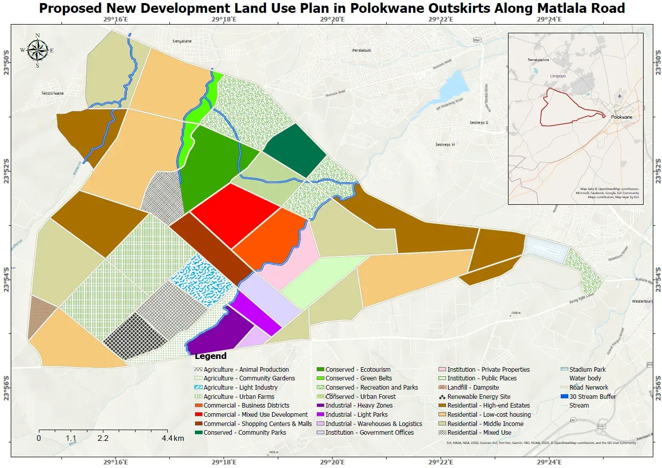
GIS & Spatial Data Intelligence
Structured spatial data systems supporting infrastructure management and asset control.
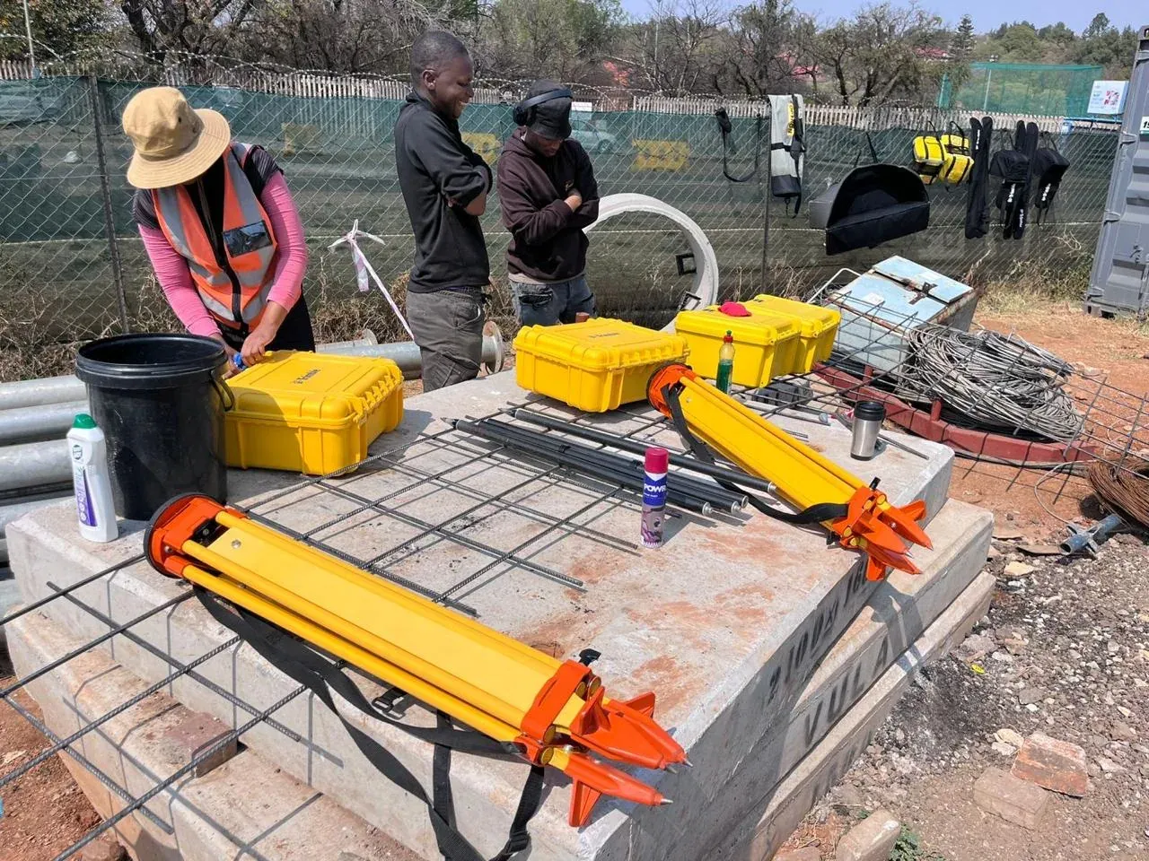
Technical Survey Consulting & QA/QC
Independent technical oversight and optimisation for complex infrastructure environments.