Our Services

Engineering surveying & geomatics.

From control network design to field execution, we deliver engineering-grade precision across every project phase.

Discuss your project
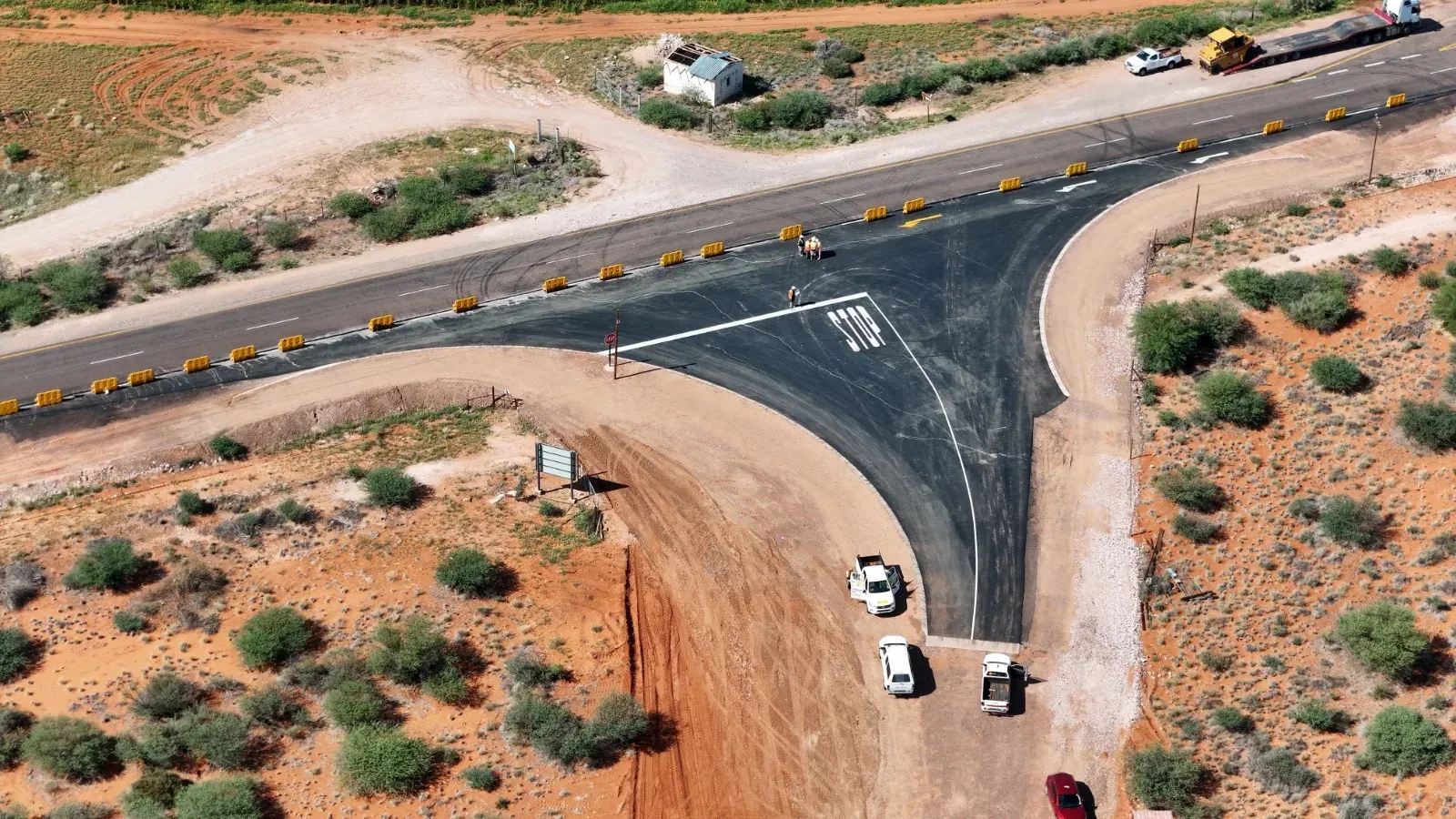
Surveyors carrying out engineering construction surveying on a road project

Precision in the field

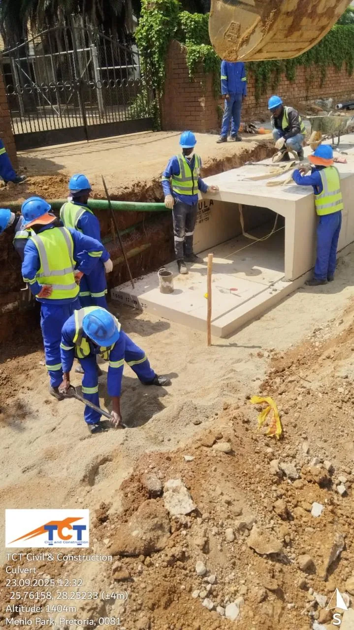
Engineering & Construction Surveying: pipeline

Service 01

Engineering & Construction Surveying

High-precision setting-out, structural alignment, deformation monitoring, and as-built verification for civil, structural, and building works.

  • Structural & civil setting out
  • Bridge & structural alignment control
  • Deformation monitoring
  • As-built verification
  • Machine control support
  • On-site problem resolution

We deploy site-based survey teams equipped with engineering-grade instrumentation.
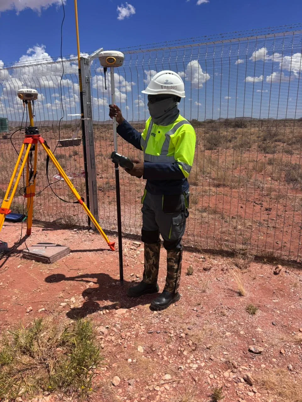
Geodetic & GNSS Control Networks: base setup

Service 02

Geodetic & GNSS Control Networks

Design and establishment of high-accuracy control frameworks that underpin infrastructure reliability.

  • Static & RTK GNSS surveys
  • Primary & secondary control networks
  • Site calibration & coordinate transformation
  • Benchmark establishment
  • Control validation & least-squares adjustment
  • Independent control verification

We don’t simply establish control — we engineer defensible spatial frameworks.

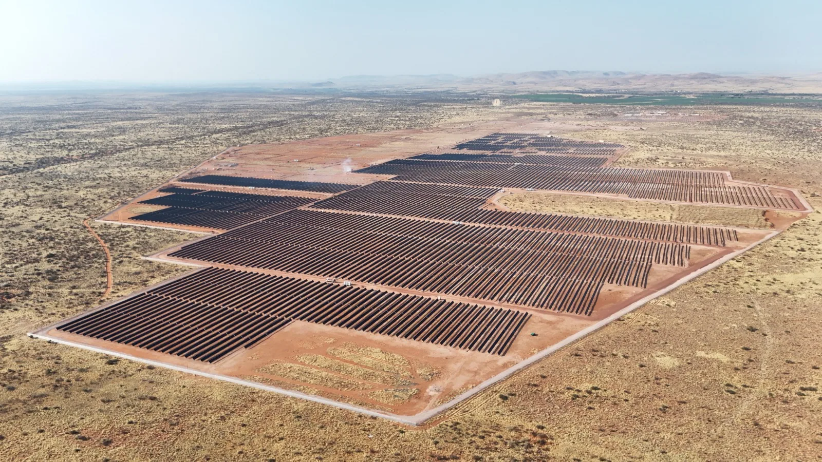
Renewable Energy & Solar Farm Surveying: renewable energy

Service 03

Renewable Energy & Solar Farm Surveying

Precision-driven surveying services supporting solar and renewable energy developments.

  • Solar tracker setting out
  • Torque tube elevation verification
  • Pile layout control
  • Substation surveying
  • Construction QA verification
  • As-built validation

Designed to protect structural alignment and generation efficiency.

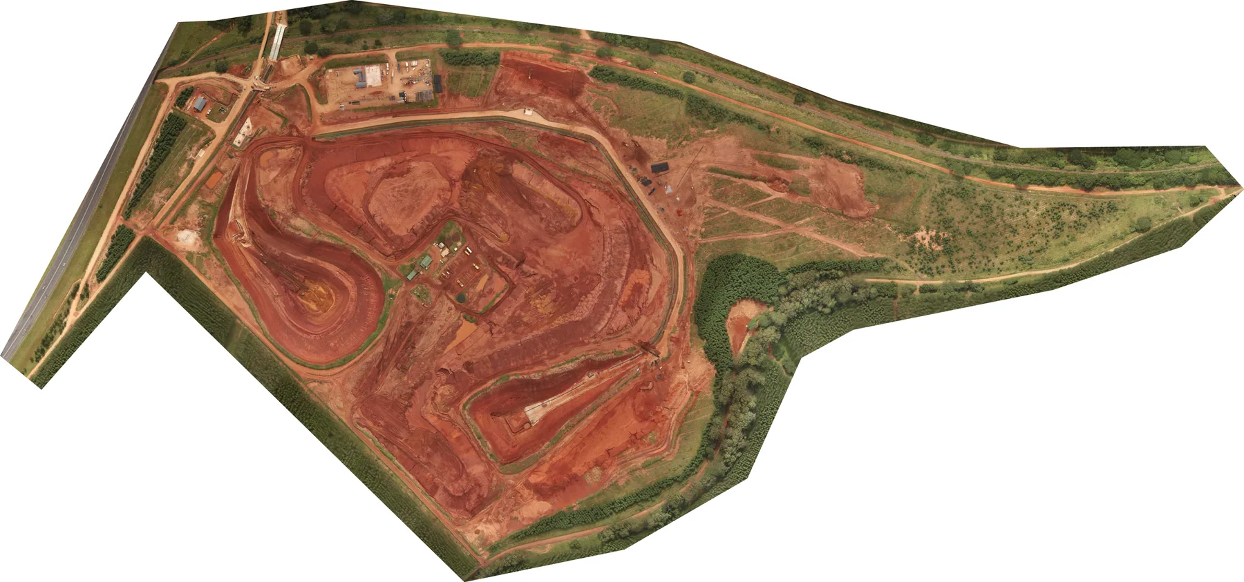
UAV Mapping & Photogrammetry: fba 090425

Service 04

UAV Mapping & Photogrammetry

Licensed aerial surveys delivering accurate and decision-grade spatial intelligence.

  • Orthophotos
  • DSM/DTM modelling
  • Volumetric analysis
  • 3D engineering mapping
  • Aerial progress monitoring

Integrated with ground control for engineering-level accuracy.

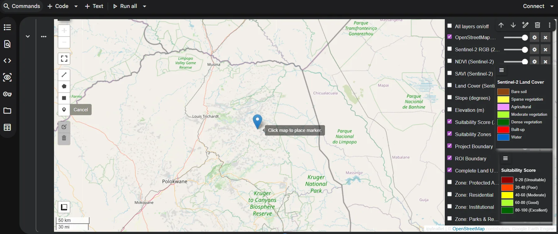
GIS & Spatial Data Intelligence: data science

Service 05

GIS & Spatial Data Intelligence

Structured spatial data systems supporting infrastructure management and asset control.

  • Spatial database development
  • Asset mapping
  • GIS analysis
  • QA/QC-driven reporting
  • Data validation workflows

Transforming spatial data into actionable intelligence.

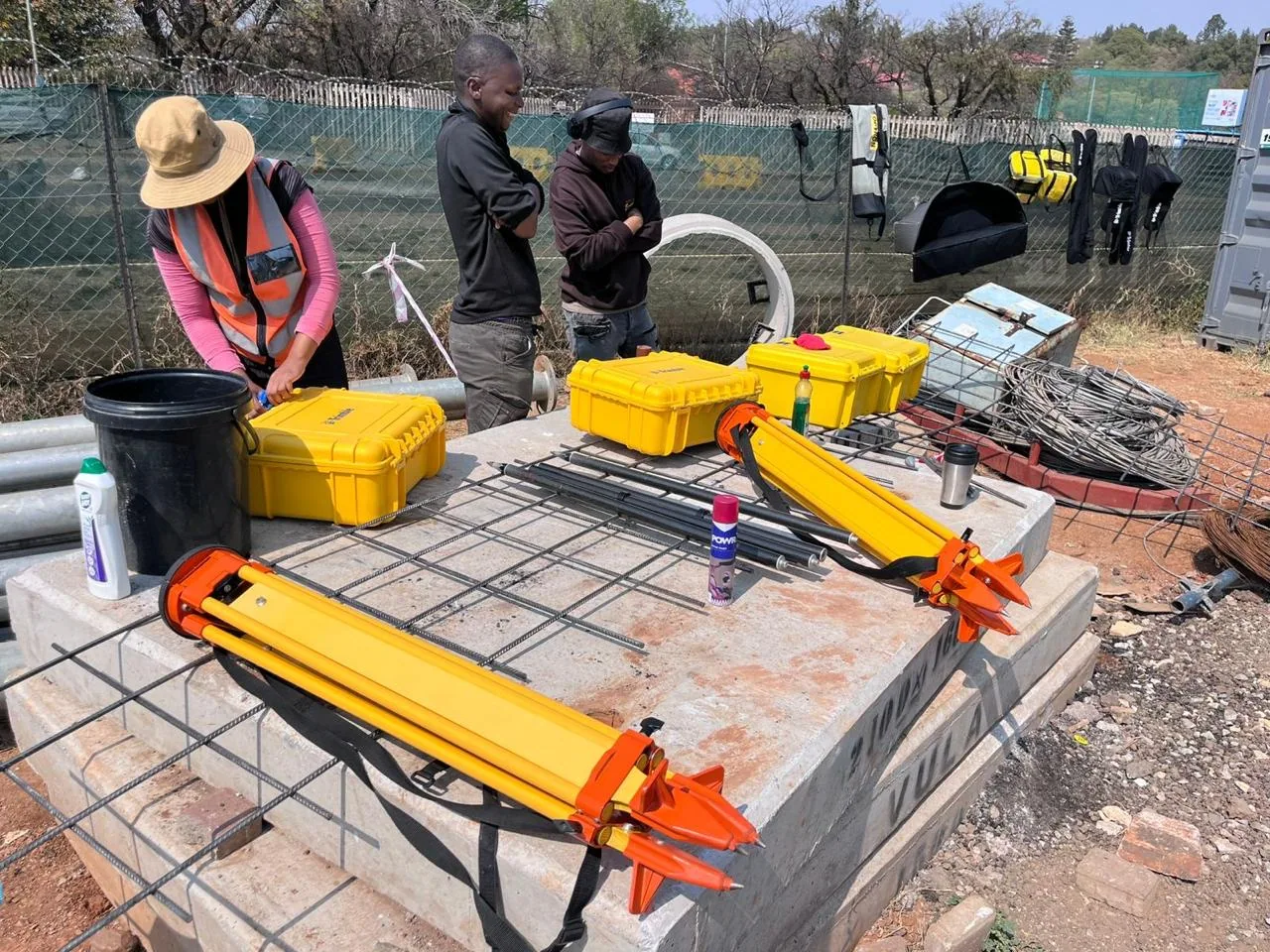
Technical Survey Consulting & QA/QC: equipment

Service 06

Technical Survey Consulting & QA/QC

Independent technical oversight and optimisation for complex infrastructure environments.

  • Survey planning & risk assessment
  • Control network optimisation
  • Least-squares adjustment
  • Contractor alignment auditing
  • On-site survey supervision
  • Dispute resolution measurement support

We provide technically defensible oversight where precision cannot be compromised.

Beyond the core services

Bespoke & specialist survey solutions

Our core services are a starting point, not a limit. We tailor specialist workflows to project requirements, including:

Design a tailored solution
  • 3D laser scanning & reality capture
  • Laser tracking
  • BIM modelling / Scan-to-BIM
  • 3D as-built modelling
  • Integrated digital survey deliverables

Integrated project capabilities

Engineering surveying · Geodetic control · Field execution · QA/QC · As-built verification · Spatial intelligence

Sectors We Support

Survey solutions across diverse project environments

Civil Engineering & ConstructionRoads & InfrastructureRenewable EnergyMining, Tailings & IndustrialMunicipal & Public Infrastructure

Let’s work together

Need precision surveying for your project?

Let’s discuss your requirements and deliver a tailored surveying solution.

Contact Us Today